PG&E to conduct aerial patrols to identify wildfires early
Pacific Gas and Electric Company (PG&E) has begun daily aerial fire detection patrols across thousands of miles of Northern and Central California.
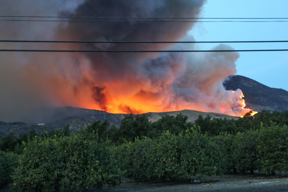
The aerial patrols assist the U.S. Forest Service, CAL FIRE, and local fire agencies to detect fires or smoke early, which allows fire agencies to respond to accurate locations quickly.
“Given the continued and growing threat of extreme weather and wildfires, we are committed to further reduce wildfire risks and help keep our customers and the communities we serve safe. Early detection with these patrols can give first responders the critical window of time to quickly contain wildfires,” Sumeet Singh, PG&E vice president of the Community Wildfire Safety Program, said.
The patrols will run until at least October 31, and possibly later, depending upon conditions. Seven planes will fly daily routes from late afternoon until dusk, the time when wildfires are most likely to start. Specifically, the routes are Redding to Auburn in the Northern Sierra; Auburn to Sonora in the Central Sierra; Sonora to Porterville in the Southern Sierra; Redding to Humboldt to Lake County; Vacaville to Solvang near the coast; Redding to Hoopa to MacArthur (Siskiyou County and northeastern Shasta County); and Mendocino County.
This is the sixth year that PG&E has run these aerial patrols. Last year the patrols totaled more than 5,200 flight hours and the company identified 209 fires, 10 of which were first reports.