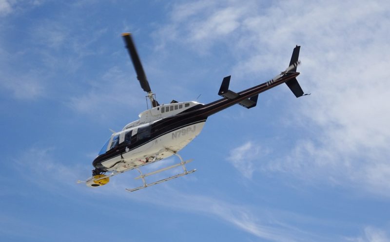
Pacific Gas and Electric Company crews to survey powerlines by helicopter across California

Now, through October, Pacific Gas and Electric Company (PG&E) crews will survey powerlines and nearby vegetation across 25 Northern and Central California counties with helicopters to prevent potential wildfire risks.
Each helicopter will carry a surveyor to collect data on the company’s powerlines, poles, and vegetation near distribution circuits within or adjacent to extreme and elevated wildfire risk areas. The harvested data will then be used to create a 3D simulation of PG&E facilities, providing a more accurate picture of potential problems needing safety improvements or maintenance and informing machine learning AI risk models.
Further aiding these efforts will be Light Detection and Ranging (LiDAR) sensors and high-resolution imagery technology on each helicopter.
“Our most important responsibility is the safety of our customers and our hometowns we are privileged to serve, and that includes doing everything possible to mitigate wildfire threats,” said Sumeet Singh, PG&E executive vice president, Chief Risk Officer and Interim Chief Safety Officer. “The high-tech tools at our disposal, such as this remote sensing technology, enhance mapping data and produce the sharpest scans. That level of detail and accuracy provides essential information on the condition and location of our equipment relative to nearby vegetation.”
All of this is an extension of PG&E’s 2022 Wildfire Mitigation Plan. Combined, its efforts include patrols, physical testing of poles, ground, aerial, climbing, infrared, and LiDAR means of inspecting more than 390,000 distribution poles and nearly 39,000 transmission structures in the PG&E service area.
